SKU: 753759119928
SUPPLIER CODE: 010-C1114-00
Couldn't load pickup availability
Garmin Canada Inland Maps LakeVü g3 Ultra | LVCA100F | microSD™/SD™
Experience unparalleled coverage and brilliant detail when you’re on the water. Canada LakeVü g3 Ultra inland maps provide industry-leading coverage, clarity and detail with integrated Garmin and Navionics content.
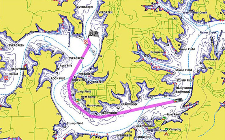
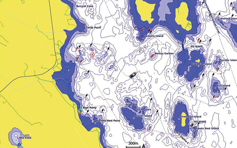
Whether you are fishing or cruising, select a spot, and get a route showing you the general path and nearby obstructions at a safe depth¹.
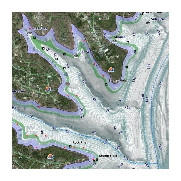
The high-resolution relief shading feature adds visual depth to the 2-D map, making it easier to interpret contours and find fish holding structure.
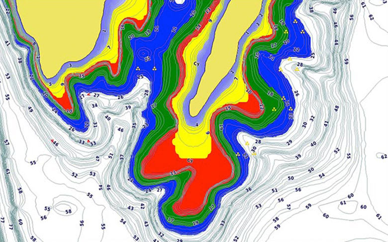
This feature displays high-resolution Depth Range Shading for up to 10 depth ranges so you can view your designated target depth.
To give a clear picture of shallow waters to avoid, this feature allows for shading at a user-defined depth.
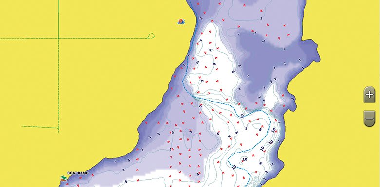
This feature allows you to adjust your maps to the lake’s current water levels, giving you a better idea of spots that are either accessible or too shallow to explore.
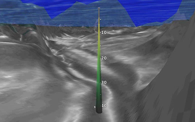
This underwater perspective shows 3-D representation of lake bottom and contours as seen from below the waterline. Interface with sonar data for a customized view.
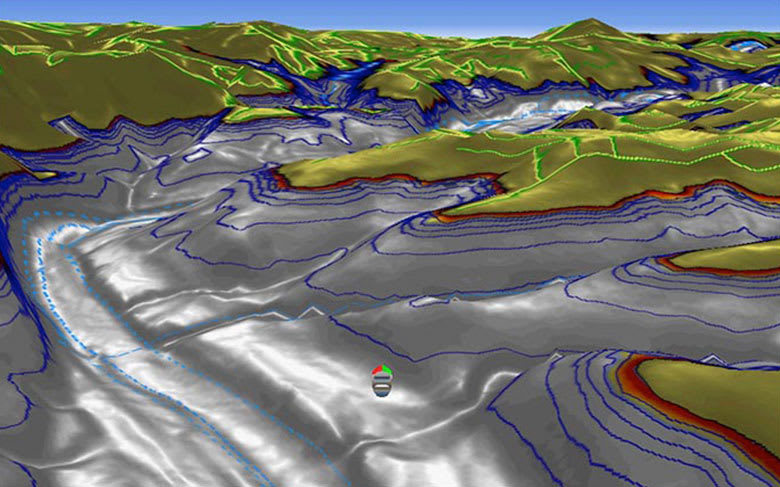
This view provides a 3-D representation of the surrounding area both above and below the waterline.
Download the ActiveCaptain® app to use OneChart™, which gives you access to all your charts and maps from your mobile device and even lets you purchase new ones.
¹Auto Guidance is for planning purposes only and does not replace safe navigation practices
